Walking Windham County Timberland Before I Make an Offer
I don't buy timberland off a satellite photo. I know some buyers do, and I understand why, it's faster and cheaper for them. But Windham County land has a way of hiding its problems and its value under the canopy, and the only way I've found to see either one is to put on boots and walk the ground myself. This is what that walk actually looks like, and why I still do it every time even after years of buying land in this county.
Why I Don't Trust the Map Alone
A tax map or a plan set tells you acreage and rough boundaries. It doesn't tell you that half the "usable" acreage is a wet seep that never dries out, or that the nice stand of sugar maple on the parcel card was cut hard eight years ago and is now mostly popple and beech brush. I've seen listings, and I've seen sellers themselves, describe land in good faith based on old information, sometimes decades old. A parcel that was mature hardwood in 1995 when the owner's father bought it might be a completely different forest today, either because it was logged, because it burned, because ice storms took the canopy down, or just because forests change over thirty years even when nobody touches them.
Windham County in particular has a lot of parcels that were part of larger farms or homesteads going back generations, then subdivided or partially logged at some point that nobody kept good records of. Aerial photos from Google or even the state's GIS layers are often five or more years old. In hill country with dense hardwood canopy, especially around Newfane, Townshend, and the hills above the West River, you genuinely cannot tell from above whether you're looking at healthy sawtimber or a parcel that was high-graded and is now growing back junk.
What I'm Actually Looking For on the Walk
I go in with a few basic questions in my head, and I try to answer all of them before I leave the property.
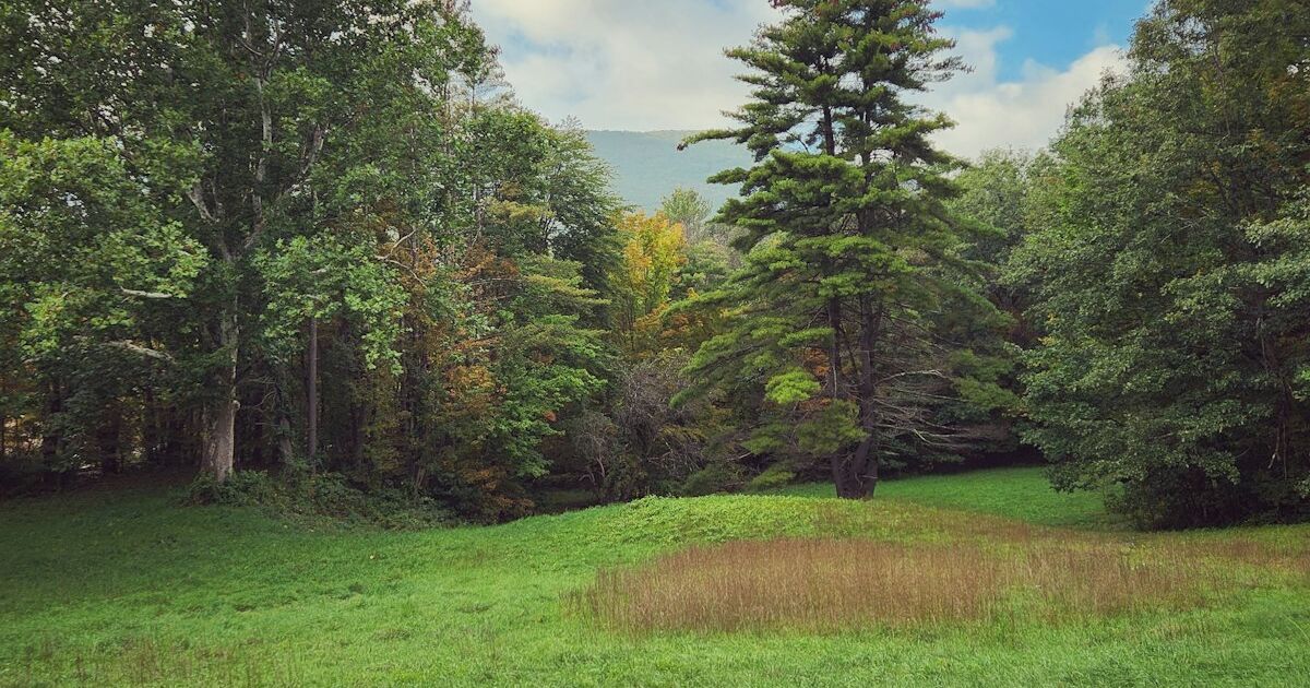
What's actually growing here. I'm not a professional forester and I don't pretend to be one, but I know the difference between a stand of quality sugar maple, ash, and yellow birch versus a stand that's mostly hophornbeam, beech brush, and pin cherry because it was high-graded a generation ago. High-grading, where loggers took the best trees and left the rest, was common practice in this county for decades, and it leaves a forest that looks green and full from above but has little commercial timber value close up. I walk enough of the parcel to get a real sense of species mix and general timber quality, not just the strip along the road.
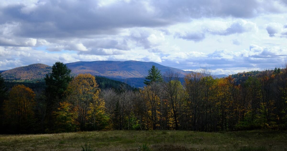
Slope and aspect. Windham County is hill country, and slope changes everything about a piece of land. A south-facing slope with a reasonable grade might have real potential for building, for a sugarbush, or for eventual pasture. A steep north-facing slope covered in ledge might be beautiful woods but tough for almost any practical use beyond hunting and hiking. I'm gauging grade by feel as I walk, not with instruments, but after enough parcels you develop a good sense for what's buildable and what isn't.
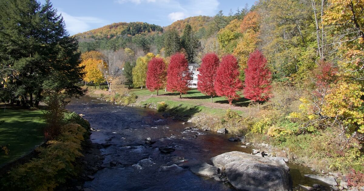
Wet areas and drainage. Vermont has a lot of seasonal wet spots that don't show up clearly on maps unless you're looking at wetland layers specifically, and even those aren't always accurate on the ground. I'm watching for standing water, for the kind of vegetation that signals a wet soil, for drainage patterns that suggest a chunk of the parcel is unusable for building even if it's technically upland on paper. This matters a lot in the West River valley and in the lower, flatter sections near Brattleboro and Putney where drainage is different than up in the hills.
Ledge and rock. Some of this county sits on thin soil over bedrock, and you'll see it in outcroppings, in root systems that spread sideways instead of down, in stone walls that were clearly built from what farmers pulled out of their own fields. Ledge close to the surface affects everything from building costs to septic design to how good the soil is for anything you'd want to grow.
Old infrastructure. Stone walls, cellar holes, old cart roads, sugarhouse foundations, sometimes even old dump sites from decades back. These aren't usually deal breakers but I want to know they're there before I make an offer rather than finding out later.
Boundary evidence. I look for blazes, old fence lines, survey pins, stone walls that might mark a boundary versus one that's just an old field wall with no relation to the current lot lines. I'm not doing a survey, that's a different process and a different cost, but I'm forming an honest impression of whether the boundaries seem clear and consistent with what the deed and any existing plan show.
The Timber Question Specifically
A lot of sellers ask me directly whether their woods are worth something for the timber alone, separate from the land value. Sometimes yes, sometimes no, and walking the land is the only way I can give an honest answer instead of a guess.
Quality matters more than acreage here. Fifteen acres of well-managed, mixed hardwood with good access can be worth more in timber terms than fifty acres of scrubby regrowth on a steep slope with no way to get equipment in. Access for skidding or forwarding equipment is its own question entirely, separate from whether there's legal road access to the parcel. I've walked plenty of beautiful timber that would cost more to extract than it's worth because there's no reasonable route in without building a logging road across wet ground or steep grade.
I also pay attention to whether a parcel has been recently cut. A freshly logged parcel isn't necessarily a bad buy, but it changes what I'm valuing. I'm not paying for standing timber that isn't there anymore, and I want to see any cutting for myself rather than rely on a description.
None of this is about lowballing anyone. It's about making sure the number I offer actually reflects what's on the ground, so the seller isn't getting a number based on some other parcel's characteristics, and I'm not overpaying based on an old photo or an outdated description.
Current Use and What the Land Cover Tells Me
Many wooded parcels in Windham County are enrolled in Vermont's Current Use program, which taxes land based on its use as forest or agricultural land rather than full market value. Walking the parcel also helps me understand whether it's actually being managed the way a forest management plan describes, since enrolled parcels are supposed to have an active management plan on file. I'm not doing a compliance audit, but if a management plan calls for certain cutting or stand improvement work and the woods clearly haven't seen that work in years, that's useful information, both about the land itself and about what a seller might be walking into if Current Use status ever gets questioned. I've written elsewhere on this site about the specifics of Current Use penalties and how that math works into a sale, so I won't repeat all of it here, but the walk is part of how I first notice whether it's even a live issue on a given parcel.
What Season I Walk In, and Why It Matters
I try to walk land at different times of year when I can, because Windham County terrain shows itself differently depending on the season. Spring mud season reveals wet areas and drainage problems that are invisible in a dry August. Late fall after leaf drop lets me actually see the lay of the land, the slope, the rock outcroppings, and the understory that leaves hide most of the year. Winter with snow cover can hide a lot of ground detail but makes wet areas and low spots obvious by where the snow melts first or stays wettest.
If I'm making an offer in summer on a heavily wooded parcel, I try to be honest with myself about what I might not be seeing under full leaf cover, and I factor that uncertainty into how I think about the offer. A parcel I've only seen in July gets a more conservative read from me than one I've walked in both April and November.
Access to the Parcel Itself
Before I even get to the timber and terrain, I need to get onto the land, and in Windham County that's not always straightforward. Some parcels have deeded access that's clear on paper but overgrown or blocked on the ground. Others sit behind a Class 4 town road that the town doesn't maintain in winter or, in some cases, doesn't maintain at all anymore. I've walked in on old logging roads that were passable by truck twenty years ago and are now grown in with saplings you'd need a chainsaw to clear.
Getting onto the property sometimes means parking on a town road and walking in a half mile through brush, other times it means asking a neighbor for permission to cross their land because that's the only practical route even if there's technically another legal access point buried somewhere in old deeds. I try to sort this out before the walk, not during it, by looking at deeds and available mapping first, but I've still shown up to parcels where the reality on the ground didn't match what the paper suggested.
What I Bring and How Long It Takes
For a smaller parcel, ten to twenty acres, I can usually walk a meaningful portion in an hour or two if access is reasonable. Larger parcels, fifty acres and up, especially with rough terrain, can take most of a day if I want to actually see the different sections rather than just the edges. I bring a copy of the deed and any plan or survey that exists, a basic compass, and I use my phone's GPS to mark my general position against parcel boundaries as I go, though I'm always clear with myself that this isn't a substitute for an actual survey if boundary precision ever matters.
I don't try to walk every square foot of a large parcel. Nobody could reasonably do that in one visit. I'm sampling different areas, different elevations, different aspects, enough to form an honest overall impression of the land rather than judging fifty acres by the twenty feet nearest the road.
Why This Changes My Offer, Sometimes Significantly
The walk can move my offer in either direction from what I might have guessed based on paperwork alone. I've walked parcels that looked unremarkable on paper and turned out to have a genuinely nice stand of maple that made me offer more than I initially expected. I've also walked parcels described as "mature hardwood" that turned out to be mostly high-graded regrowth with a lot of standing dead wood, and adjusted my offer down to reflect that honestly.
Either way, I'd rather the seller understand why the number is what it is than just receive a figure with no explanation. If I've walked your land and I'm telling you it's beautiful woods but heavy on beech and light on maple, that's not a negotiating tactic, that's just what I saw.
If You're Thinking About Selling
If you own wooded land in Windham County, whether it's a woodlot behind a house, an old family parcel you've never done much with, or a piece you inherited and don't know quite what to make of, I'm happy to come walk it with you or on my own, whichever you prefer. I'll tell you honestly what I see, and I'll put together a cash offer based on the actual ground, not a photo from five years ago.
Reach out and tell me a little about the parcel, roughly where it is and how you'd describe it, and I'll set up a time to come take a look. No pressure, no obligation, just a straightforward look at your land and an honest number if you decide you want one.